Selected project examples
Compiling basic topographical data for Kampala, Uganda
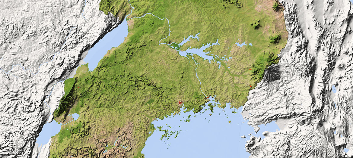
As a basis for planning an upgrading project for the water supply system in the Ugandan capital, Kampala, our geoinformatics experts first created a digital terrain model from high-resolution stereo satellite images. After photogrammetric 3-D analyses, we prepared topographical maps, classified land areas according to their use, and also prepared bathymetric maps based on ESRI GIS data.
Our services
- Creation of a digital terrain model from high-resolution Pleiades stereo satellite images
- Creation of an ortho-photo mosaic
- Photogrammetric 3-D analysis
- Preparation of topographic maps to scales of 1:5000/1:10,000
- Classification of land areas according to their use
- Compilation of ESRI GIS data
- Processing bathymetric analysis data and preparation of bathymetric maps